Translating Risk to the Environment
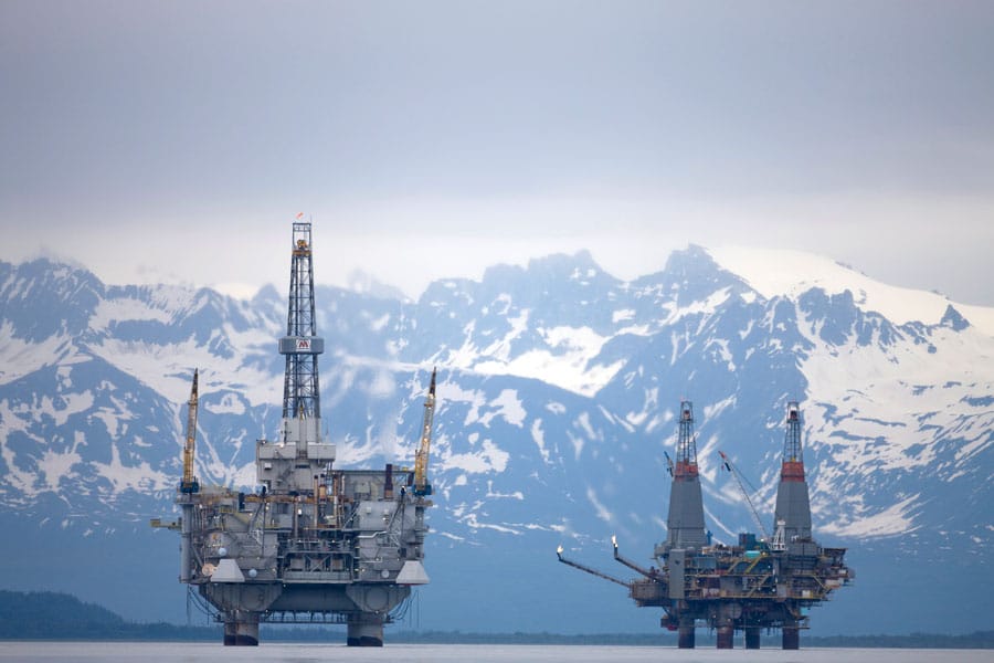
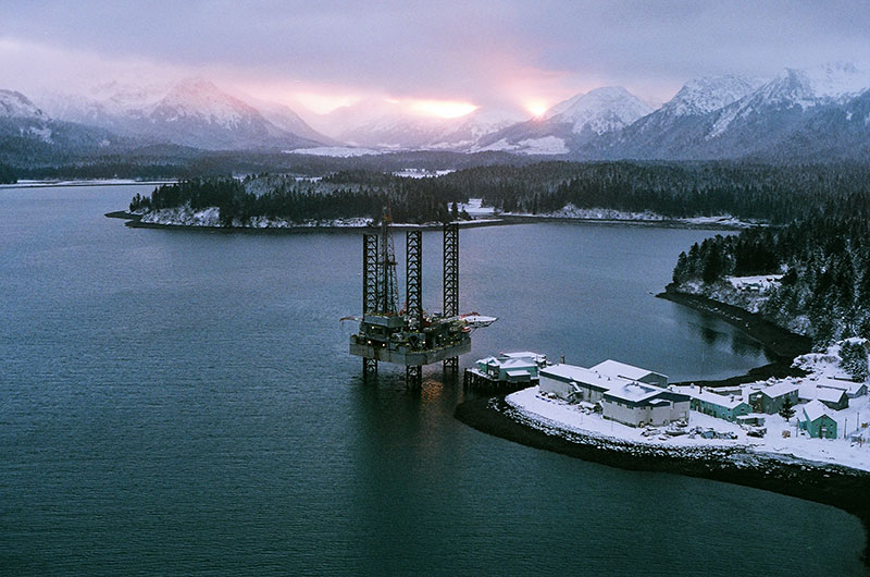
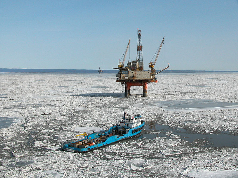
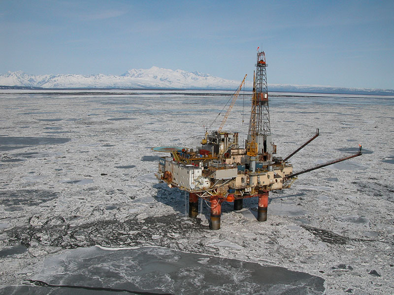
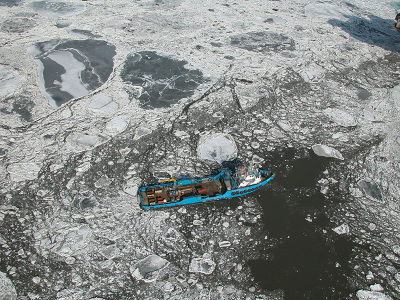
Cook Inlet’s complex ocean environment poses challenges to oil spill prevention and response. The broken moving ice in the winter, the high suspended sediment loads, and the swift and complicated oceanographic regime all factor into how oil and other contaminants can impact natural resources in or down-stream of the Inlet. To truly understand potential impacts of oil industry operations, it is necessary to know how and where the ocean currents might transport contaminants. Additionally, shoreline characteristics that influence retention of and sensitivity to oil must be identified.
Below, you will find a summary of efforts undertaken by CIRCAC and our partners to study Cook Inlet’s complex physical oceanography. We have inventoried the coastal habitats, including characteristics of shorelines, such as sediment types, beach shape, wave exposure, and biological resources.
Click to view larger.
PHYSICAL OCEANOGRAPHY
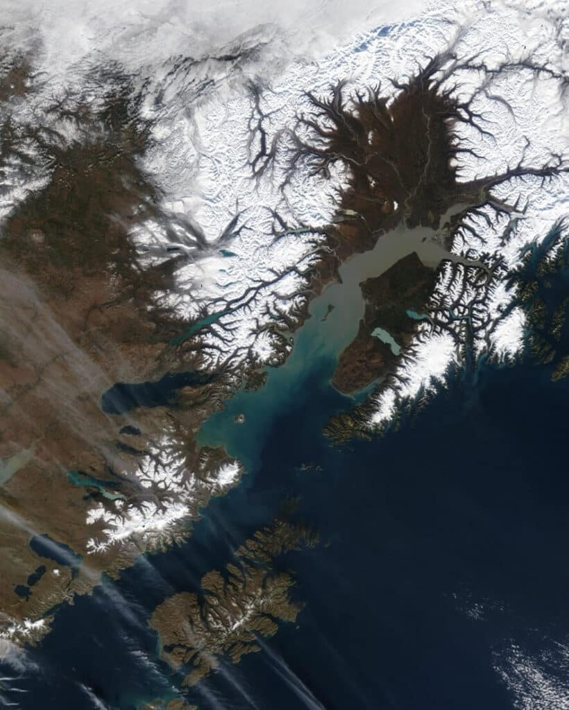
Cook Inlet’s Complex and Dynamic Oceanography
Cook Inlet is a semi-enclosed estuary that extends over 300 km from its mouth to the Knik and Turnagain Arms in the northeast upper inlet, and connects major upper Inlet freshwater sources, including the Beluga, Susitna, Matanuska, and Knik Rivers, to the oceanic waters of the Gulf of Alaska. Cook Inlet currents are tidally dominated by mean range tides varying from 16 feet in the lower Inlet to over 30 feet in Turnagain Arm. Extreme tidal ranges exceed 40 feet. The massive volumes of water that rush in or out of the Inlet with each tide interact with the contours of the shoreline and seabed to create a complex and dynamic mixture of currents and tide rips. Other influences on Cook Inlet’s circulation include the large volumes of freshwater from the upper Inlet and the low salinity Alaska Coastal Current that enters the Inlet at its eastern mouth. These lower salinity influences drive “net” circulation. Finally, regional winds can also strongly influence surface circulation and can be a major factor in transporting spilled oil from the source to other areas of the Inlet and its shorelines. The complexity of these interactions makes Cook Inlet a challenging body of water to study or to predictively model the trajectory of spilled oil.
Early on, CIRCAC recognized the value and need for information about Cook Inlet’s physical environment to improve our understanding of how spilled oil or contaminants move within or outside of the Inlet. We developed a desk-top oil spill trajectory model that focused on the shorter-term influences of tides and winds on the surface transport of oil. In reality, oil would also interact with tide rips, longer-term “net” currents, suspended sediment, and other factors, requiring more detailed information and sophisticated numerical models. CIRCAC began facilitating research to collect that information and promote development of realistic trajectory models.
CIRCAC Physical Oceanographic Studies
Projects supported by CIRCAC included partnering with Cook Inlet Spill Response Inc. (CISPRI) and the Institute of Marine Science at the University of Alaska Fairbanks (UAF) to run transects across Cook Inlet’s tidal rip zones using an Acoustic Doppler Current Profiler (ADCP) to measure both horizontal and vertical currents. This study showed some of the highest vertical current rates ever directly measured occurring at the convergence zones of the tidal rips along the middle of the Inlet. These convergence zones have the potential to pull oil below the surface and therefore must be understood and included in any efforts to model oil spills in the Inlet. Further studies documented how the locations and strengths of the rip zones vary by tidal stage as moving water masses interact with changes in bottom depth.
To better understand seasonal influences of the Alaska Coastal Current and upper Inlet riverine inputs to Cook Inlet circulation, CIRCAC worked with UAF and the Kachemak Bay Research Reserve (KBRR) to document seasonal changes in temperature and salinity. This information is key to understanding density-driven currents in the Inlet. We documented conditions over daily tidal cycles, compared neap and spring tides, and measured seasonal differences. The studies were funded by the Coastal Marine Institute and our study transects have been incorporated into a long-term oceanographic study by NOAA as a component of Gulf Watch Alaska.
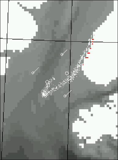
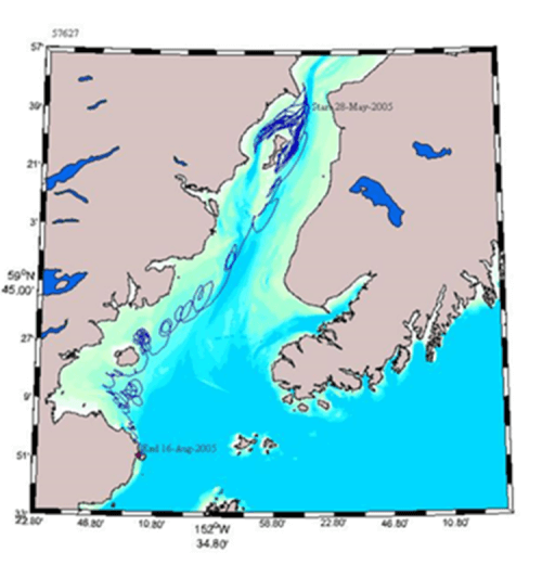
Though tidal currents dominate in the short term, spilled oil would also be moved by winds and net currents. To better understand the long-term movement of Cook Inlet’s marine waters, we supported a project carried out by UAF and funded mainly by the Minerals Management Service (MMS; now BOEM), to deploy and track surface buoys as well as buoys “drogued” to various depths. A drogued buoy has a type of underwater sail attached at depth so that the tracking part of the array (a small surface buoy with a satellite transmitter for tracking position) is moved by the currents at the depth of the drogue. These buoys were released along crude oil shipping routes and docking areas and tracked for days, weeks, and even months. The study provided invaluable information about “net” currents in the Inlet where oil might be transferred on scales longer than a tidal cycle. The buoy tracking information was also matched with known wind conditions during the deployments to help understand how wind influences circulation.
CIRCAC also partnered with UAF to conduct early tests of Ocean Surface Current Radars in the Inlet by deploying several transmitter and receiver arrays over winter. These arrays measured surface circulation where the signals overlap between instrument arrays placed about 20 miles apart. The early tests looked at an area of the central Inlet south of the Forelands. The successful deployments of these instruments led to a test of the system during a potential emergency scenario when Mount Redoubt Volcano erupted and lahars threatened the Drift River Tank Farm.
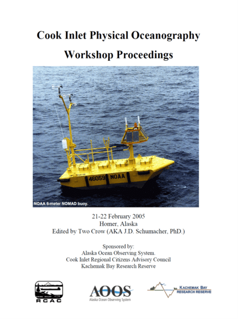
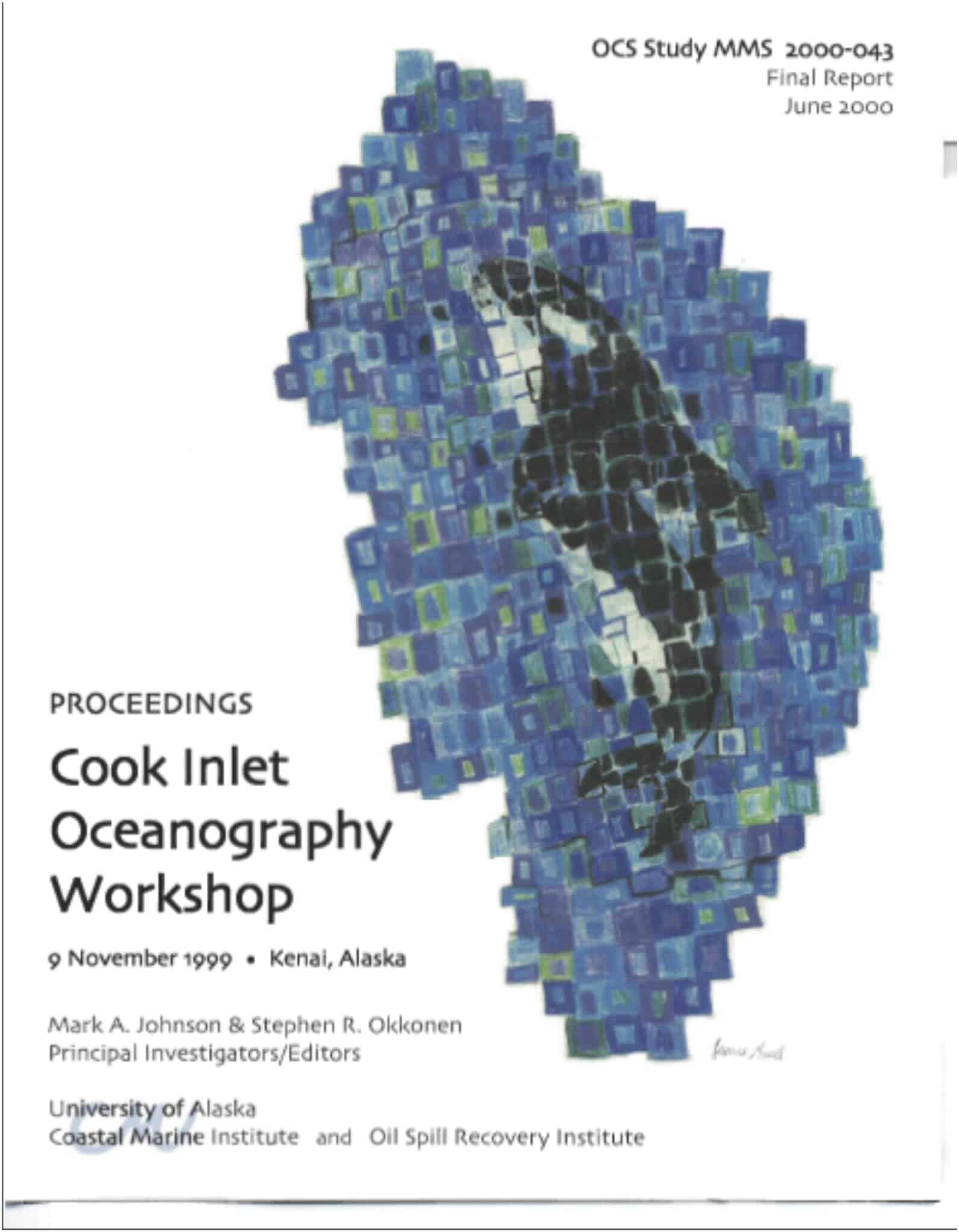
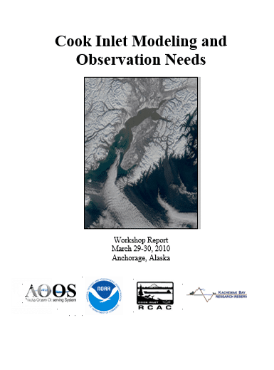
Physical oceanographic studies are typically very expensive. Thus, coordination and collaboration can enhance and expand any one study. One simple way to ensure there is good communication among researchers and with those who need good circulation data is to share information among studies at various forums. With partners, CIRCAC has hosted three workshops that focus on Cook Inlet physical oceanography – in 2000, 2005, and 2010. The discussions during these events have led to numerous collaborative studies, as well as commitments by federal agencies to renew efforts for collecting data and developing more accurate ocean transport models.
Finally, though CIRCAC has been a partner in oceanographic studies and modeling efforts in Cook Inlet since the mid-1990s, the establishment of the Alaska Ocean Observing System (AOOS) has been key in moving Cook Inlet oceanographic initiatives forward. CIRCAC worked with AOOS to develop the first Cook Inlet Ocean Observing System proposal and we continue to partner to develop ocean observing platforms to improve transport model development.
More details about Cook Inlet physical oceanographic studies can be found in various reports at our main website at https://www.circac.org/what-we-do/physical-oceanography/.
COASTAL HABITATS
We know that different shorelines have different sensitivities to spilled oil. Various coastal factors such as the types of rock substrate (geology), relief features such as the shape and topography of the beach (geomorphology), biological habitat (plants, seaweeds, seagrasses, and invertebrates), and wave exposure can all influence how oil interacts in the nearshore environment. The same features impact our ability to protect, respond to, and clean-up oil and play huge roles in long-term impacts as we learned from previous oil spills such as the Exxon Valdez Oil Spill (EVOS). In the U.S., oil spill responders rely on NOAA’s Environmental Sensitivity Indices (ESI) to rank relative risks to shorelines from spilled oil. ESIs use information about the shoreline obtained from shoreline surveys to map both the different shore types along a coast, and the biological resources using those shorelines. Following EVOS, it became obvious that detailed shoreline information was lacking, and much of what was available did not include the extensive intertidal habitats in the path of the oil. Below, we describe our efforts to study coastal habitats.
ShoreZone Coastal Habitat Mapping
In 2001, Cook Inlet RCAC initiated a pilot project previously applied in Washington state and British Columbia. ShoreZone is a mapping and classification system that specializes in the collection and interpretation of spatially-referenced aerial imagery of the intertidal zone and nearshore environment, conducted during the lower tides of the year. The objective was to produce an integrated, searchable inventory of geomorphic and biological shoreline features so that the data can be queried and mapped for improved oil spill planning and response.
Remembering a prior “Worst-case Scenario” oil spill drill where a tanker ran aground on a rock south of the outer Kenai Peninsula coast, CIRCAC determined to obtain actual photographs of our shorelines at very low tides. Thought previous ShoreZone efforts did not include the imagery as a distributed product to ShoreZone users, our contractors at Coastal and Ocean Resources, Inc. agreed to work with us to develop a demonstration website where any user could access the imagery with the habitat data on-line. Remember, fifteen years ago, this was a relatively new concept and the tools to do so were not readily available.
Our first ShoreZone survey took place in central Cook Inlet and Kachemak Bay in 2001 and was funded by CIRCAC. The following spring, in April 2002, at the EVOS Trustee Council sponsored habitat mapping workshop, we highlighted our most recent survey and plans to develop on-line access. By summer 2002, there were additional surveys conducted, sponsored by CIRCAC, the Kenai Peninsula Borough, the EVOS Trustee Council, and the Coastal Impact Assistance Program of the State of Alaska. Within one more year, the National Park Service was partnering to map Katmai, Aniakchak, and Kenai Fjord National Parks, and, by 2005, we had funding to complete ShoreZone surveys and mapping of Kodiak Island.
Our continued efforts to promote ShoreZone among local organizations and state and federal agencies led to the creation of the Alaska ShoreZone Partnership (www.shorezone.org). CIRCAC’s pilot website, where habitat data and maps could be viewed along with video captures and photographs of the shoreline, successfully promoted ShoreZone and brought on additional partners. ShoreZone products have proven useful far beyond oil spill planning and response. They are used for research, education, permitting, resource management, recreation, search and rescue, habitat modeling, and many other efforts.
By 2005, NOAA’s Alaska Fisheries Science Center’s Regional Office agreed to administer and host the data and imagery from all of the various partners. Their role in developing a more robust website (http://alaskafisheries.noaa.gov/shorezone/ ) and overseeing data integration and quality control has led to a long-term partnership among dozens of organizations and agencies that have since imaged and mapped nearly 80% of Alaska’s shoreline. ShoreZone imagery and habitat data are now being integrated with other programs such as the ocean data portals at AOOS, including the Cook Inlet Response Tool (CIRT) described further below.
In 2009, CIRCAC took advantage of improved technology and higher resolution cameras to resurvey all of Cook Inlet, resulting in very high quality digital imagery and digital stills with which to illustrate the shoreline habitat information.

In addition to the ShoreZone aerial imagery and the mapped habitat data, we collected on-the-ground species-level data throughout our areas of concern. This portion of the program has also been expanded to others areas of Alaska. NOAA is serving this site-level data, integrating it with the rest of the ShoreZone information. CIRCAC has sponsored or partnered in the collection of data from hundreds of these stations providing a more detailed understanding of the types of organisms that are associated with the biological habitats mapped from the air.
Studies on special, unique, and sensitive coastal habitats in our areas of concern
CIRCAC has conducted studies to take a much closer look at certain shoreline types and habitats in our areas of concern, some discovered during ShoreZone aerial surveys, or to acquire detailed information not provided by ShoreZone.
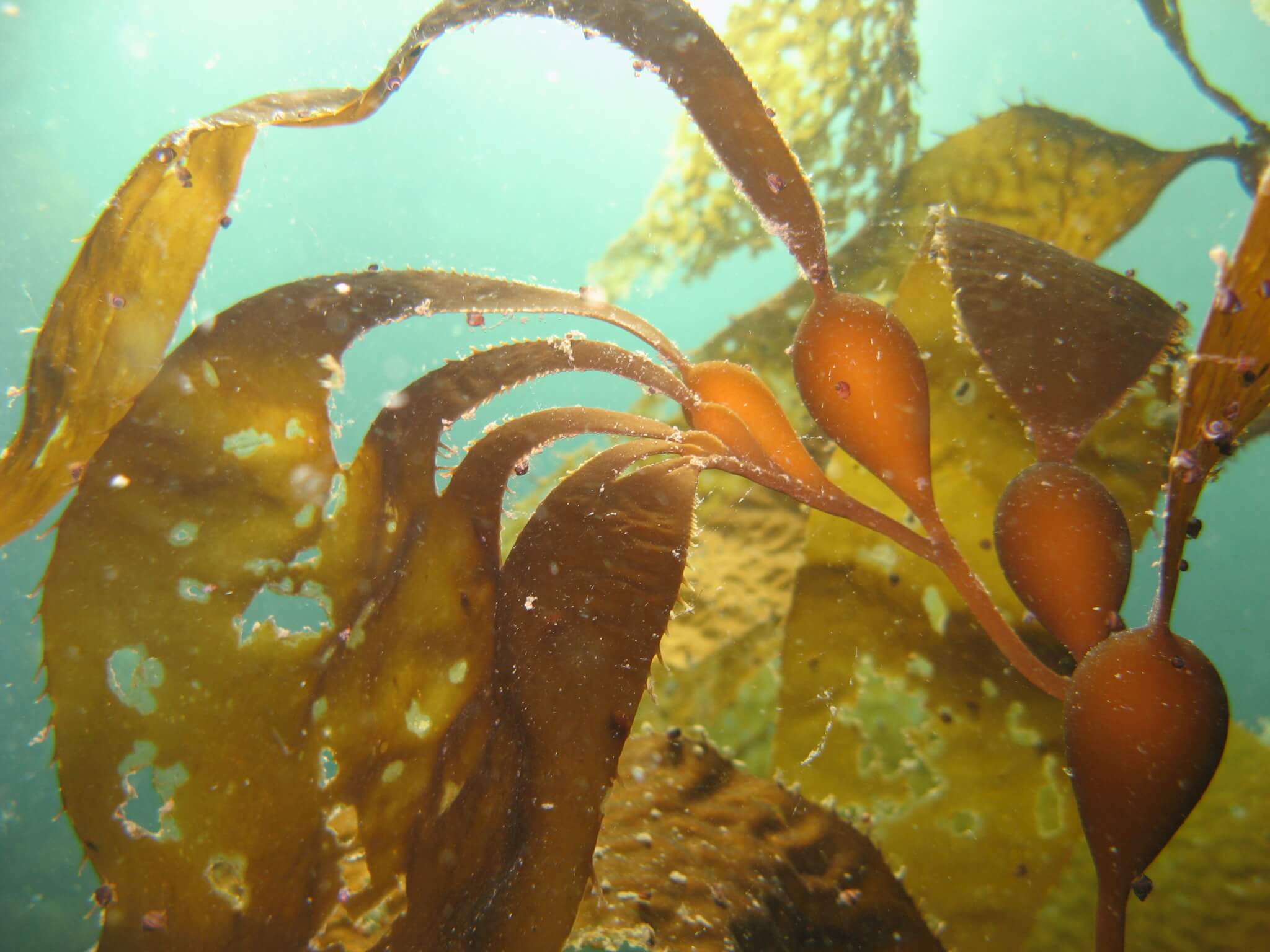
During the aerial ShoreZone surveys around the Kodiak Island archipelago in 2002 and 2005, several beds of the giant kelp, Macrocystis, were discovered. Previous reports of individual plants had been seen as far north as Kodiak, but no actual kelp beds had been mapped or described. These kelp beds create different habitat than the other two canopy kelps (Nereocystis luetkeana or bull kelp and Eualaria fistulosa, or dragon kelp) that occur in the western Gulf of Alaska. Giant kelp, a perennial remaining year-round, can grow in a very dense band along the shoreline, potentially impacting shoreline access or oil spill response. Our studies in 2006 and 2009 included dive surveys, GIS mapping, voucher collections for university herbariums, and taking genetic tissue samples for archiving. Studying this kelp will help us evaluate its expansion and how it might affect other nearshore habitats.
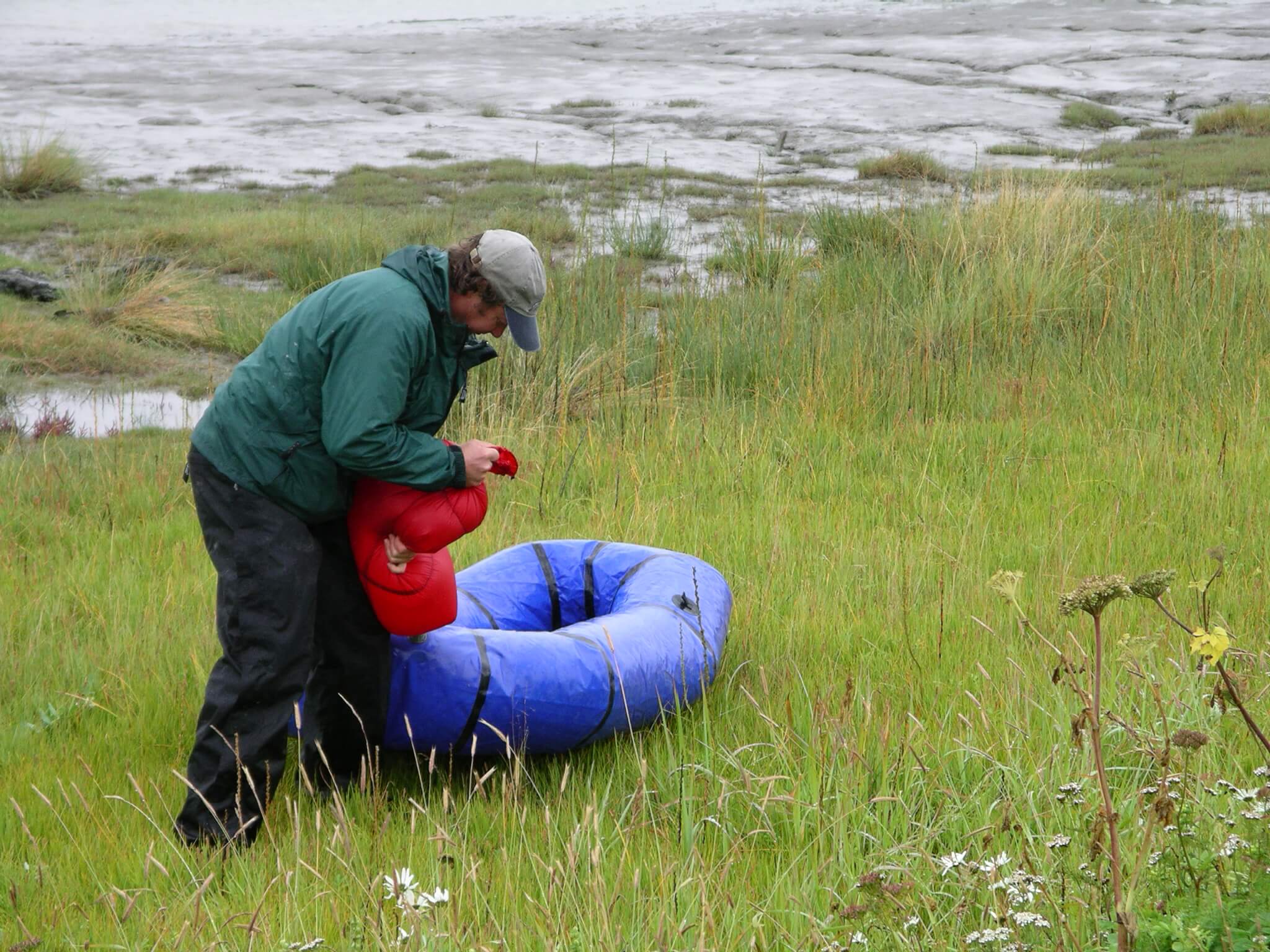
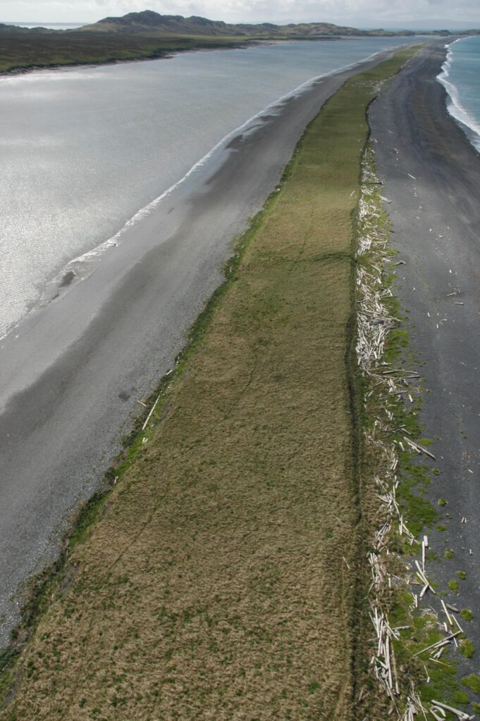
Saltmarsh habitat, dominant in western Cook Inlet, its bays and smaller estuaries, is especially susceptible to long-term retention of spilled oil. Many of Cook Inlet’s salt marshes occur in the very high intertidal zone and are less likely to be oiled than lower intertidal habitats. However, if oiled during high tides, there is little that can be done to remove oil without serious damage, and the fine sediments and root structures of marsh plants can retain oil like a sponge. Marsh plants are very sensitive to slight changes in salinity. Saltmarsh habitat along Cook Inlet is often miles wide, and difficult to accurately portray using ShoreZone mapping methods. Thus, we sought additional methods to provide a higher level of habitat detail for these particularly sensitive habitats. Partnering with the Kachemak Bay Research Reserve (KBRR), we sponsored a series of field surveys to provide high resolution maps of some of the main salt marshes at risk to oil spills in Cook Inlet. Species lists and mapped plant assemblages at different tidal heights, along with aerial and on-the-ground photographs of the habitats were produced. This detail can be layered with the larger ShoreZone dataset.
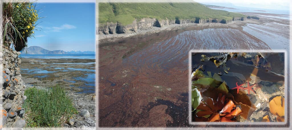
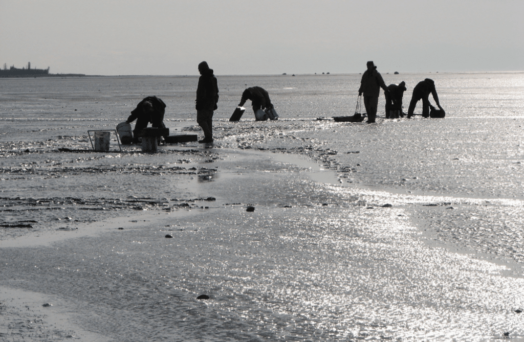
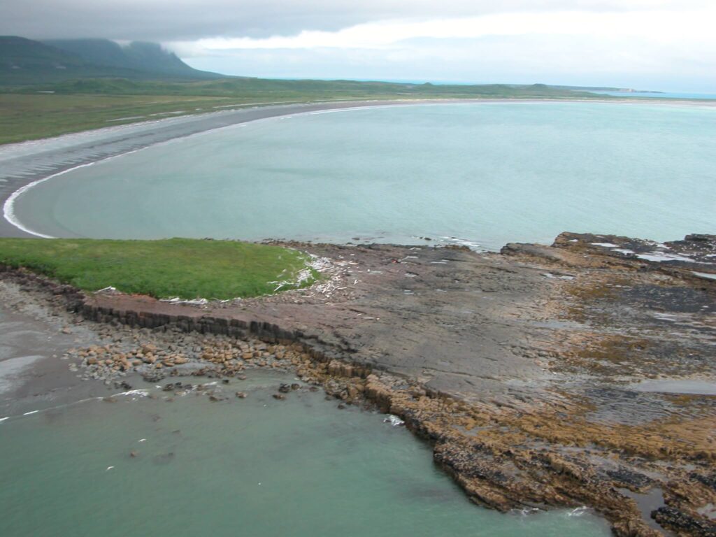
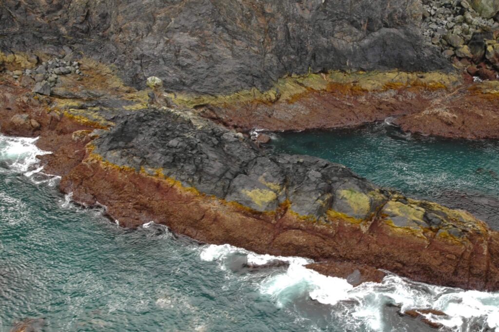
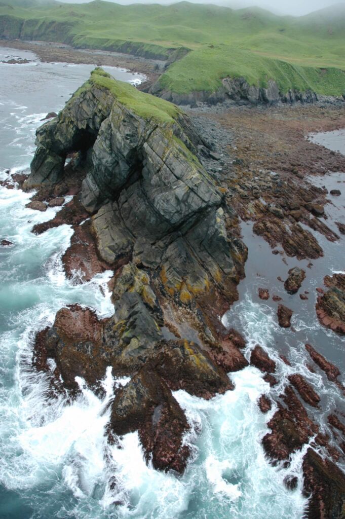
Unique low-angle rock platforms and mudflats were evident in the ShoreZone aerial imagery of Kamishak Bay, in lower Cook Inlet. Some of these shorelines reveal miles of shoreline out from the upper beach during low tides. Very little historical data exists for some of these habitats, though they are downstream of potential Cook Inlet oil spills and provide habitat for spawning herring. CIRCAC has conducted several small site-specific assessments, and in the summer of 2015, we partnered with the National Park Service, NOAA, and the University of Alaska Fairbanks, with funding from BOEM, to conduct detailed assessments of the intertidal and subtidal habitats of rock and boulder platforms. This study will be expanded in the next several years to include other habitats. We collected information about the quantity and types of seaweeds and invertebrates that colonize these rock habitats and will relate them to the slight changes of tidal height measured across these very low-angle features (often having less than 2 degree slopes). This information will help us better understand these unique habitats and potentially provide baseline information for beaches at risk from future oil development and/or spills.
In 2000 and 2002, we conducted shoreline reconnaissance surveys of soft-sediment habitats in the upper and middle Inlet and in Kamishak Bay to identify potential sentinel species populations. Sentinel species are relatively long-lived (multi-year) and occur in quantities that would support periodic sampling for contaminant monitoring. Based on their feeding methods, sedentary invertebrates, such as bivalve clams, can be good indicators of exposure to pollutants. We evaluated for sentinels, described the sediments and beaches in which they lived, and collected representative samples of the sediment and clam tissues for contaminant analyses. A table was created of potential sentinel populations that could be periodically monitored over time or that could be quickly visited prior to, and after, oil exposure in the event of a spill.