The purpose of our Coastal Habitat Mapping Program is to assess coastal habitats with a planned outcome of a coordinated and contiguous database of the entire Gulf of Alaska and an oil spill prevention and response tool that incorporates detailed coastal habitat data.
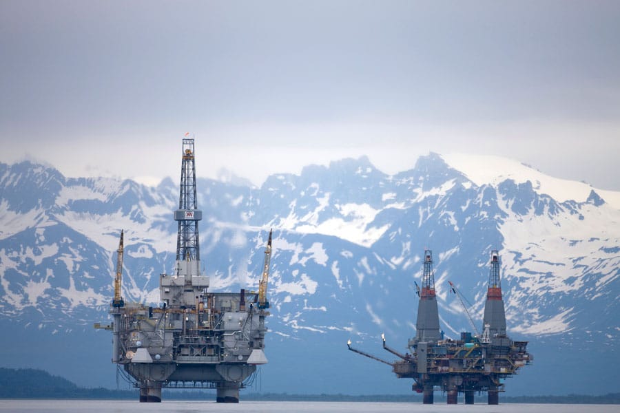
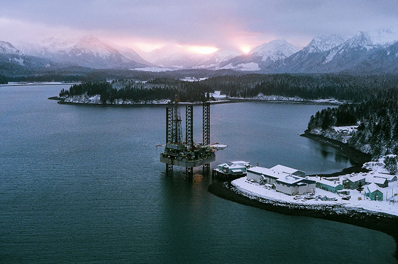
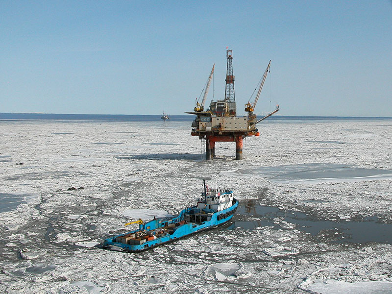
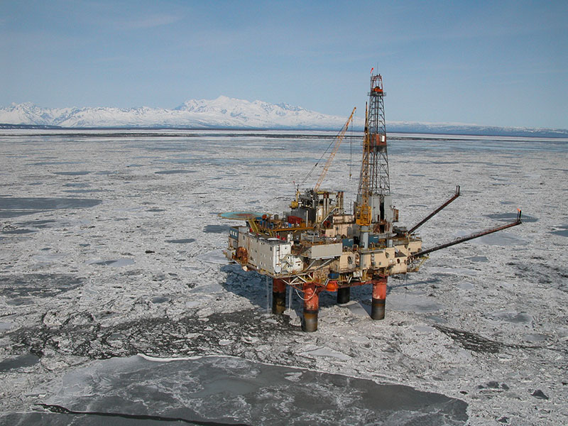
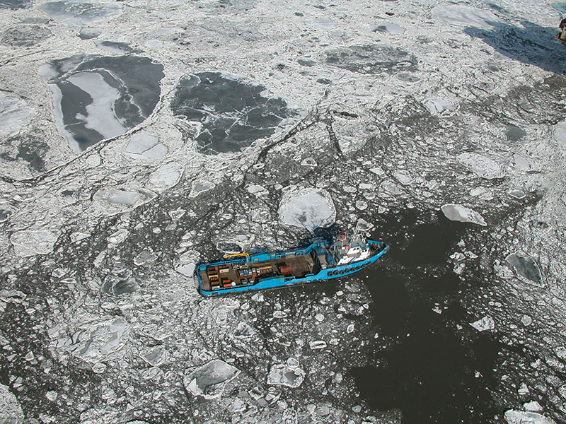
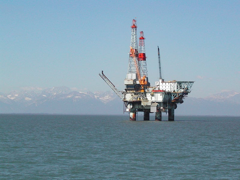
All components of the marine ecosystem are at risk from oil spills to varying extents, depending on type of oil, spill location, weather and ocean conditions, ability to respond and remove oil, and many other factors. However, we know from historical oil spills that shorelines are exposed to oil spill effects more than other marine environments and the impacts are determined largely by a shoreline’s physical and biological features. Sediment texture and permeability, wave exposure, and plant and animal assemblages are just a few examples of factors that influence short or long-term impacts from oil spills.
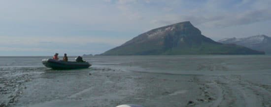
Cook Inlet encompasses a wide range of beach types and they can vary both along shore and across-shore from the high to the low intertidal zones. Huge rock platforms are found throughout Kamishak Bay, while steep rocky shorelines are more common along the eastern shorelines of lower Cook Inlet. And many shorelines of the upper and middle Inlet have extensive salt marsh habitat at the top of a sand/gravel beach face, with an extensive mud flat below. All of these habitats vary in their sensitivity to and retention of beached oil, as well as our ability to protect or respond, and it is important to have an inventory of habitats at risk in order to improve and prioritize oil spill response efforts.
Our habitat mapping program also integrates with much of our work in other programs, such as our Chemical and Biological Monitoring and our Physical Oceanography programs. For example, having information about intertidal and nearshore habitats is important when selecting sites or identifying potential sentinel species populations for contaminants monitoring and a shoreline risk assessment would need to integrate information about how ocean currents might move oil to different shorelines and information about the shorelines. Data from our coastal habitat program also provide a framework for viewing or interpreting other coastal data and information, which spurred our partnership with the Alaska Ocean Observing System (AOOS) to serve coastal habitat data and imagery with other natural resource and oceanography data.