Cook Inlet RCAC’s ice forecasting network of cameras was conceived following a 2007 Cook Inlet Navigational Safety Committee Winter meeting, when the NOAA Ice Forecaster solicited ice observations to complement Satellite Radar Images in Cook Inlet.
Cook Inlet RCAC met with National Weather Service’s Ice Forecasting Office staff to discuss the difficulties encountered in interpreting Satellite Radar Images, and formulated a preliminary plan to form a network of observers, using an abbreviated reporting form based on the Sea Ice Observers Guide, and a request to include a digital photograph with each report. The Ice Forecaster approved the plan and the form.
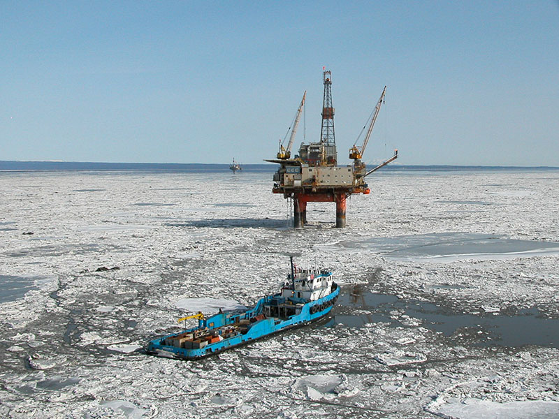
Cook Inlet RCAC recruited observers from Cook Inlet operators, including Marine Facility Operators, Off Shore Platform Operators, Port of Anchorage, Offshore Supply Vessel Operators and Charter Aircraft Operators.
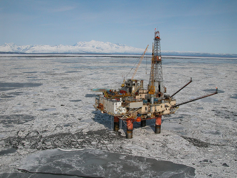
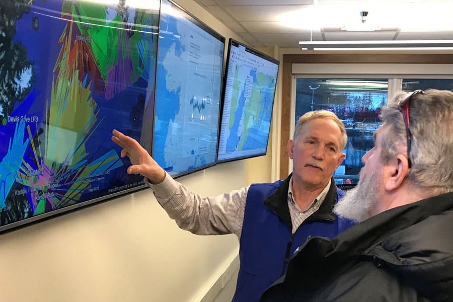
Then we recommended expanding the Ice Observers Network with cameras. Accomplishing this task required selecting suitable cameras, identifying strategic locations for camera placement, negotiating location access and use, developing a priority hierarchy and operation plan, installation of the high resolution pan, tilt, zoom, cameras; and initializing the system. We then turned the system control over to the NOAA Ice Forecaster based in Anchorage, who then uses it to produce ice analysis charts and a text forecast that are distributed via the National Weather Service network, posted online, and transmitted via the old marine fax system.
The technical requirements of the cameras are many: they have to be high resolution, operable in both day and night; with pan, tilt and zoom lenses, exterior closures with heaters and fans; stand-alone control, minimum 2GB memory, separate hand drives for video storage, high resolution monitors, Windows XP Professional and image enhancing software.
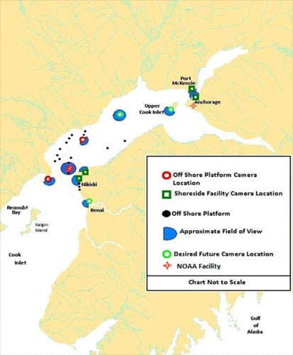
The locations (now numbering 9) had to:
- provide a strategic view
- be accessible for maintenance
- have a power supply
- enable land line access or line of sight to a land line for wireless data transmission.
Operation Plan:
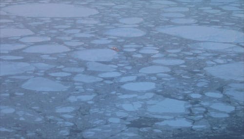
- Use pan / tilt / zoom feature to locate and evaluate ice pan, size, and thickness
- Establish location of “hard edge” of ice flow
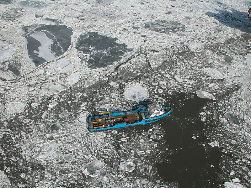
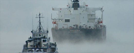
- Capture vessel movement through ice when possible
- Routinely record ice coverage and ice make up
- Track outstanding events
- Index video with on-scene observations and still photos
- Archive images
- Utilize data to aid in future ice forecasts
Since its implementation, Cook Inlet RCAC’s ice forecasting network of cameras has become invaluable to NOAA’s Ice Forecaster in developing the all-important marine advisories for mariners transiting throughout Cook Inlet during the winter months. For up to date marine sea ice advisories, click here.
Our Partners
- Marathon Petroleum Company (formerly Andeavor)
- ASRC Energy Services »
- Cook Inlet Energy »
- Hilcorp Alaska »
- Offshore Systems Kenai »
- Port MacKenzie, Matanuska-Susitna Borough »
- Port of Anchorage, Municipality of Anchorage
- NOAA, National Weather Service
- Alaska Ocean Observing System
- City of Kenai
- State of Alaska