Geographic Response Strategies (GRS) are oil spill response plans tailored to protect a specific sensitive area from impacts following a spill. These response plans are map-based strategies that can save time during the critical first few hours of an oil spill response. They show responders where sensitive areas are located and where to place oil spill protection resources.
Cook Inlet Geographic Response Strategies Web Site Links
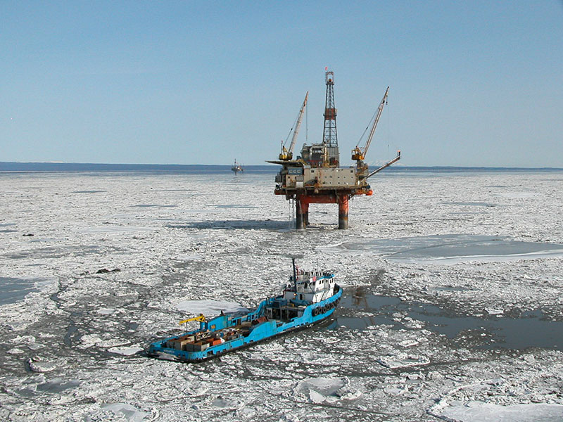
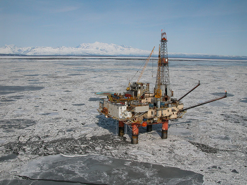
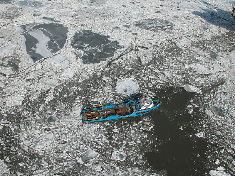
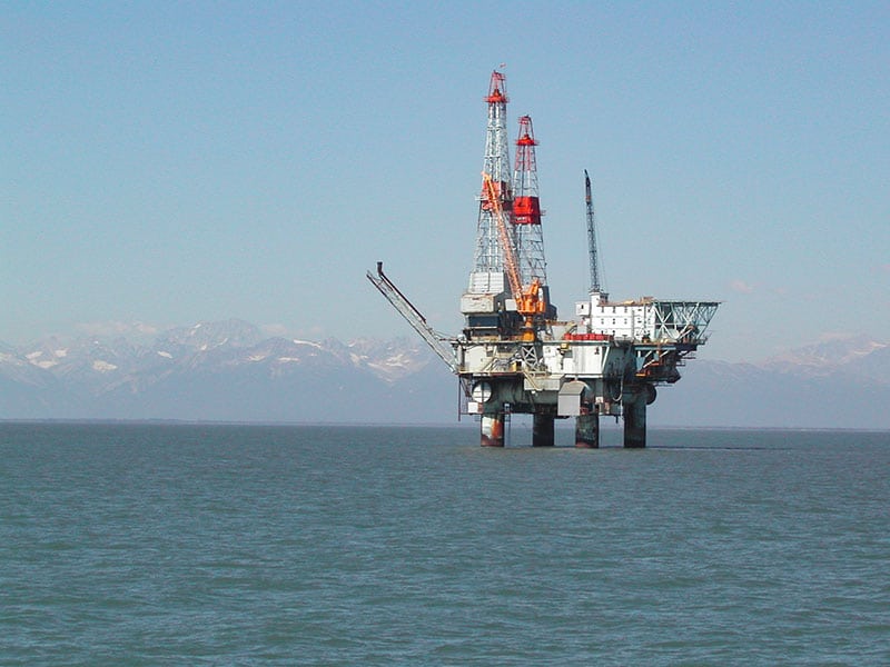
Northern Cook Inlet GRS Information This website describes the process used to develop Geographic Response Strategies (GRS) to protect sensitive coastal environments in the Northern Cook Inlet response zone. The Northern Cook Inlet Zone, which is part of the Cook Inlet Subarea, extends from the Chuitna River on the west side of the Inlet to Point Possession on the east, and north to the Matanuska River.
Central Cook Inlet GRS Information This website describes the process used to develop Geographic Response Strategies (GRS) to protect sensitive coastal environments in the Central Cook Inlet response zone. The Central Cook Inlet Zone, which is part of the Cook Inlet Subarea, extends from Anchor Point north to just north of Tyonek, including both the inlet’s east and west coastlines.
Southwestern Cook Inlet GRS Information This website describes the process used to develop Geographic Response Strategies (GRS) to protect sensitive coastal environments in the Southwestern Cook Inlet response zone. The Southwestern Cook Inlet Zone, which is part of the Cook Inlet Subarea, extends from Cape Douglas north to Sea Otter Point at the southern entrance to Chinitna Bay.
Southeastern Cook Inlet GRS Information This website describes the process used to develop Geographic Response Strategies (GRS) to protect sensitive coastal environments in the Southeastern Cook Inlet response zone. The Southeastern Cook Inlet Zone, which is part of the Cook Inlet Subarea, extends from south of Point Bede northeast to Division Island at the northern entrance to Nuka Passage.
Kachemak Bay GRS Information This website describes the process used to develop Geographic Response Strategies (GRS) to protect sensitive coastal environments in the Kachemak Bay response zone. The Kachemak Bay Zone, which is part of the Cook Inlet Subarea, extends from Point Bede, just south of Nanwalek, north to Anchor Point at the northern entrance to Kachemak Bay.
Seward GRS Information This website describes the process used to develop Geographic Response Strategies (GRS) to protect sensitive coastal environments in the Seward Zone of Cook Inlet. The Seward Zone, which is part of the Cook Inlet Subarea, extends along the eastern coast of the Kenai Peninsula, from Cape Pudget to Nuka Point.
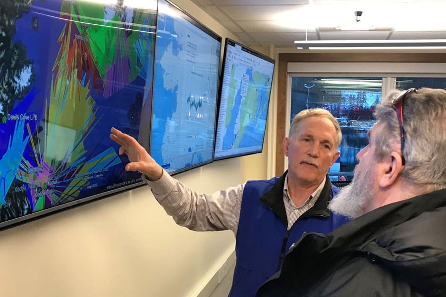
Kodiak Geographic Response Strategies: Cook Inlet RCAC co-funded the Kodiak phases of GRS development in 2006 along with the Prince William Sound Response Planning Group, Prince William Sound RCAC and others. The workgroup weighed the advantages and disadvantages of each location and developed plans for 43 sites along Kodiak, Afognak, and the Alaska Peninsula across Shelikof Strait. Workgroup members collected site survey information using the U.S. Fish and Wildlife vessel URSA Major II. Sites are selected using several criteria, including environmental sensitivity, exposure to risk of being oiled, and ability to succeed in protecting the area with the current response technology.
Kodiak Geographic Response Strategies Web Site Links
Northern Kodiak GRS Information This website describes the process used to develop Geographic Response Strategies (GRS) to protect sensitive coastal environments in the Northern Kodiak response zone.
Western Kodiak GRS Information This website describes the process used to develop Geographic Response Strategies (GRS) to protect sensitive coastal environments in the Western Kodiak response zone.
Mainland Kodiak GRS Information This website describes the process used to develop Geographic Response Strategies (GRS) to protect sensitive coastal environments in the Mainland Kodiak response zone.
Eastern & Southern Kodiak GRS Information This website describes the process used to develop Geographic Response Strategies (GRS) to protect sensitive coastal environments in the Eastern & Southern Kodiak response zones.