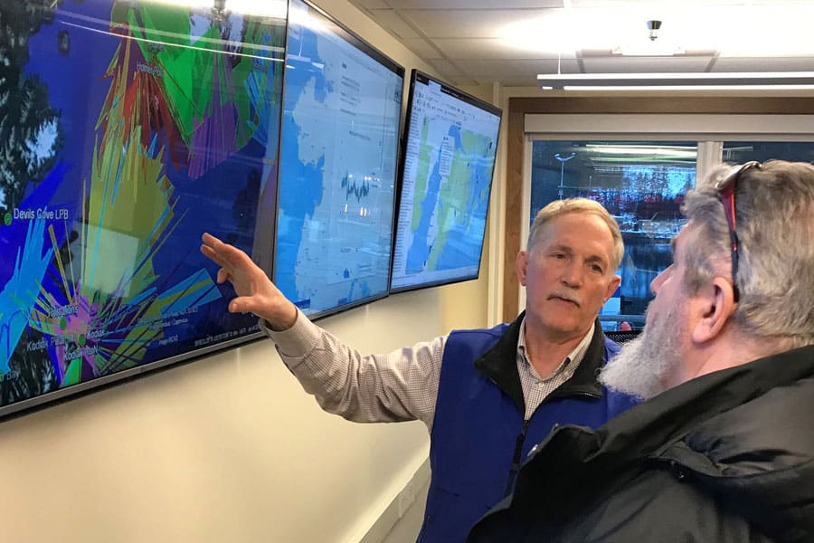
Cook Inlet RCAC collaborated with the Alaska Ocean Observing System (AOOS) to develop a Cook Inlet Response Tool, or CIRT. Our overarching goal is to advance a next generation oil spill response application that combines a ShoreZone imagery and video viewer with a long list of GIS spatial data layers and with AOOS real time observations and model nowcast/forecasts for winds, waves, and ocean circulation.
We identified a need for a tool such as CIRT when we demonstrated the value of ShoreZone imagery and data in emergency response scenarios. While the Alaska ShoreZone web site sponsored by NOAA continues to be the best place to query and access ShoreZone imagery and data, we wanted to be able to integrate that information with a wide range of other information often required for oil spill planning and response. The mission of AOOS is to “address regional and national needs for ocean information, gather specific data on key coastal and ocean variables, and ensure timely and sustained dissemination and availability of these data.” To that end, AOOS was developing a data integration and visualization tool and they agreed to develop CIRT as a demonstration of how data and real-time observations and models can be integrated and visualized together.
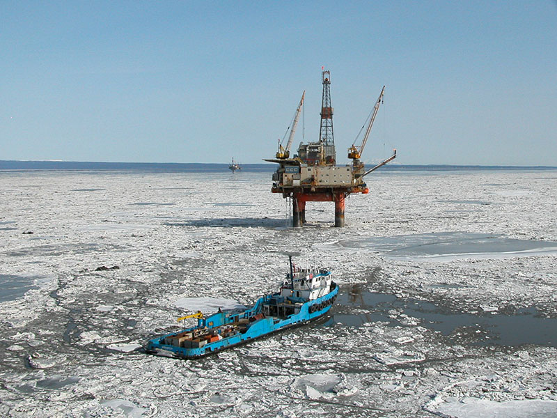
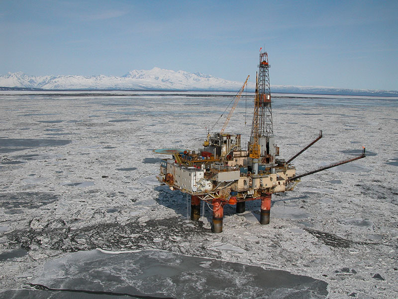
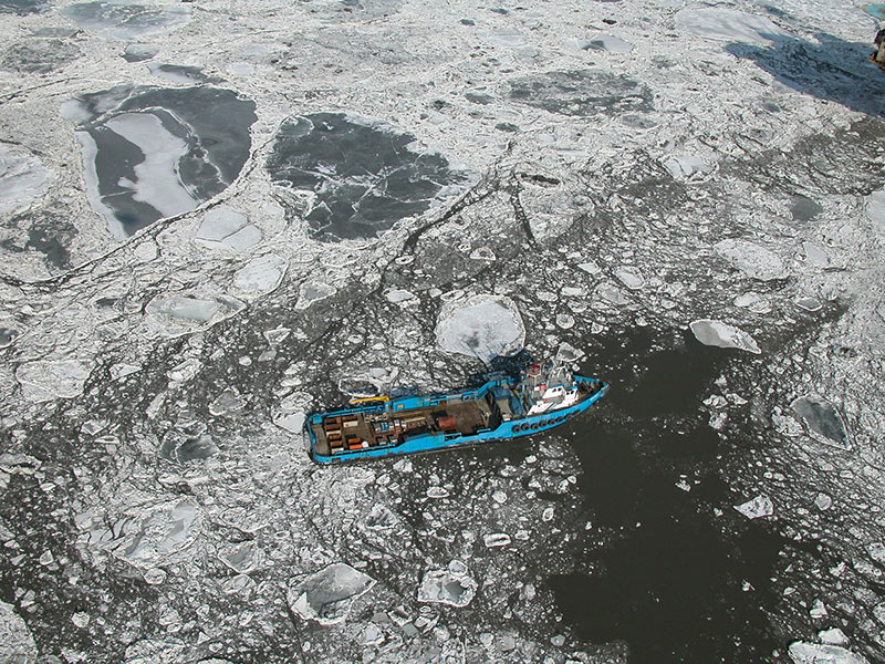
We are focusing CIRT on Cook Inlet because the area is relatively small and manageable, and many of the needed datasets are mature; however, the application is scalable so that other areas in Alaska and the nation will benefit. We will make data layers available to other oil spill response tools, such as NOAA’s Emergency Response Management Application (ERMA) that is being developed for Arctic oil spill response planning, but could expand to any area of Alaska in the event of a significant oil spill or event.
CIRT allows users to fly the coast and stream high definition video from ShoreZone coastal aerial surveys while simultaneously tapping into weather conditions (including wind speed, water level, temperature and other conditions from more than 100 real time sensors), visualizing climate and oceanographic forecast models across time and depth, and accessing dozens of GIS data sets such as geographic response strategies, shoreline oil persistence indices, salmon stream locations, and information for sensitive areas.
CIRT can be broadly applied to support the needs of a wide variety of stakeholders, including vessel operators, permitting agencies, and private industry. Click here to access CIRT.