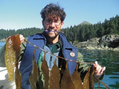
In 2002, during our ShoreZone helicopter surveys in the Kodiak Island area, we discovered a bed of the canopy kelp Macrocystis spp. on Afognak Island outside of Foul Bay. We verified its presence in 2005 by collecting voucher samples while conducting intertidal beach surveys in the area. In 2006 and 2009, Cook Inlet RCAC research teams conducted exploration expeditions to the area that included scientific divers, GIS mappers, and taxonomists. During surveys on-board the R/V Norseman in 2006 and the R/V Waters in 2009, the teams mapped kelp bed boundaries; obtained species-level information for fish, invertebrates and seaweeds associated with the kelp beds; and collected tissue samples of the kelp for future DNA analyses. The results of the dive surveys were presented at the Kodiak Area Marine Science Symposium in April 2011. See our presentation poster here.
Cook Inlet RCAC collected historical aerial photographs and interviewed local fishermen who have fished in the western Afognak Island region to determine whether this plant has recently expanded its range in the area or if it had just missed being detected until our region-wide coastal mapping efforts. Although the western geographic range of this plant historically included Kodiak, there were no documented reports of actual beds of Macrocystis – only reports and collections of individual plants.
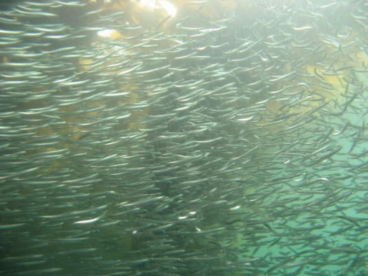
Also of interest to Cook Inlet RCAC is that the kelp is a unique habitat in an area that is downstream of the major water currents from Cook Inlet. In the Gulf of Alaska, only two other canopy kelps provide the floating kelp habitat that some fish and marine mammal species prefer. These are bull kelp (Nereocystis luetkeana) and dragon kelp (Alaria fistulosa) both of which provide habitat for hiding and feeding. In contrast to bull and dragon kelp which are annuals that can grow from the bottom to the surface in one year, Macrocystis is a perennial, which remains year-round. Macrocystis also grows in a very dense band along the shoreline, which could have impacts for shoreline access or oil spill response. In our study area, it created an almost impenetrable barrier to shoreline access and is extremely dense from the low intertidal to about 10 meters depth. By studying this kelp now, we will be able to tell if it expands along the coast and be better able to evaluate how that might affect nearshore habitat.
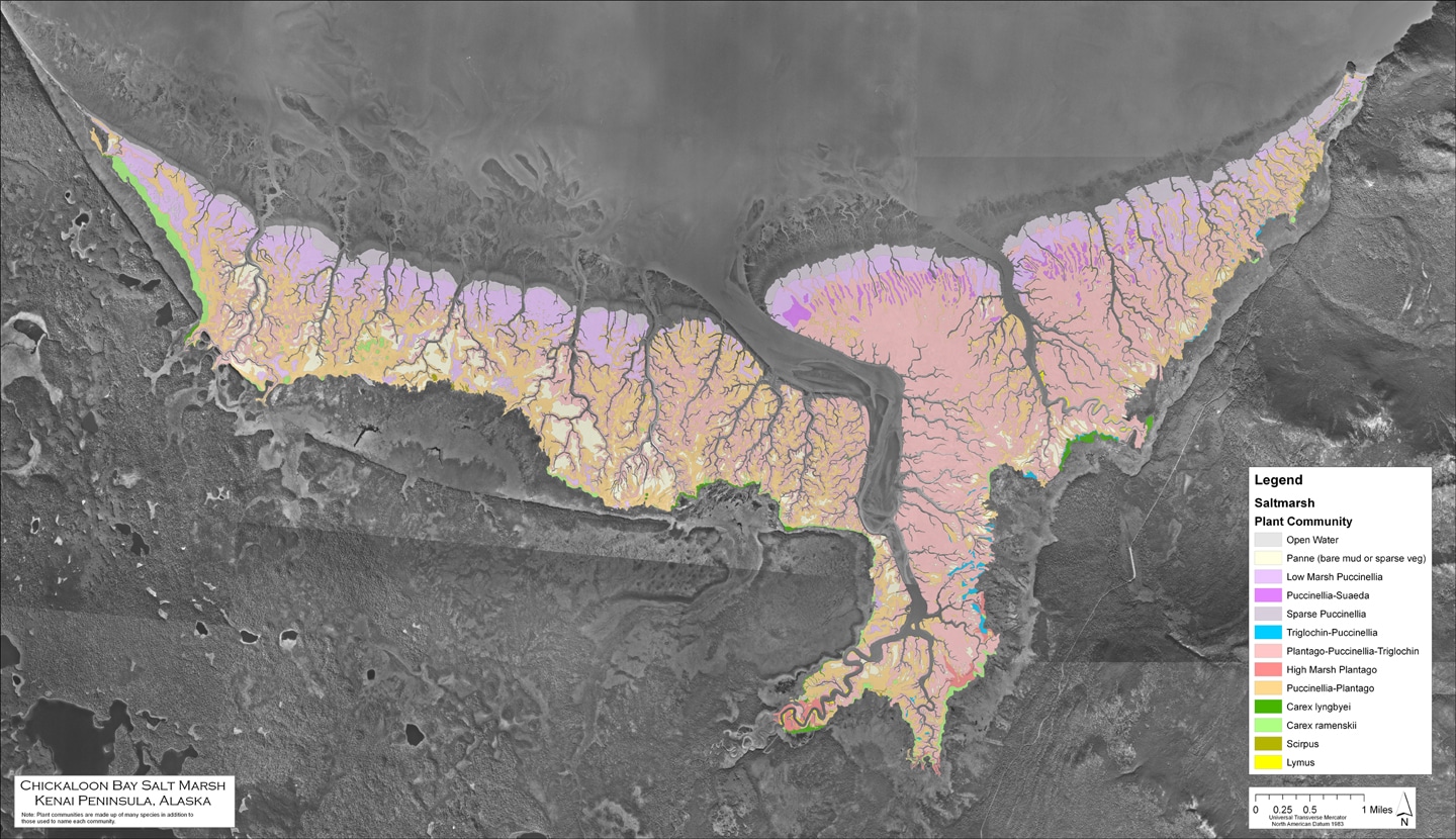
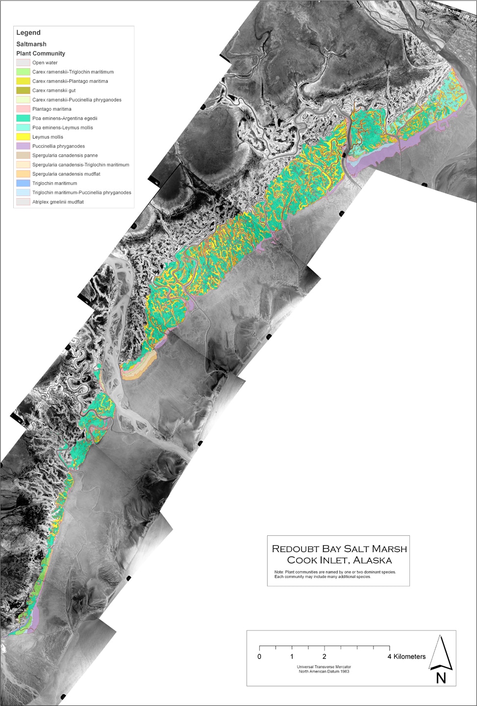
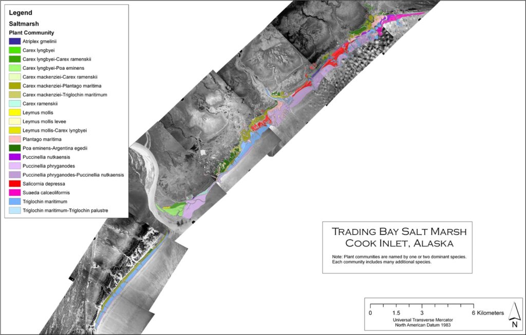
Many areas of Cook Inlet are surrounded by wide salt marshes that can extend miles inland. If an oil spill in upper Cook Inlet reaches the shoreline during higher tides, some of these areas have a significant risk of being impacted. Salt marshes are particularly sensitive to spilled oil since the marsh plant roots and sediments retain the oil. They are not cleansed by natural tidal action as some shore types are and clean-up options are limited by logistics and the fact that response actions can cause more damage than leaving the oil in place.
Cook Inlet RCAC initiated a project to map salt marshes in upper Cook Inlet, and by partnering with the Kachemak Bay Research Reserve we mapped the different plant communities making up the larger salt marshes in Chickaloon, Redoubt, Trading, Iniskin, Iliamna, Oil and Chinitna bays. These detailed GIS maps are helping us understand the zonation of plants relative to general tidal elevations and give a measure of baseline information that can be referenced in oil spill planning and response efforts. Links to the reports and maps of the individual saltmarshes are provided here:
- Report Salt Marsh Mapping in Cook Inlet: Trading, Redoubt, and Chickaloon Bays »
- List of plants found in upper Cook Inlet Saltmarshes » [.xls file]
- Report titled Salt Marsh Mapping in Cook Inlet: Iniskin, Oil and Chinitna Bays »
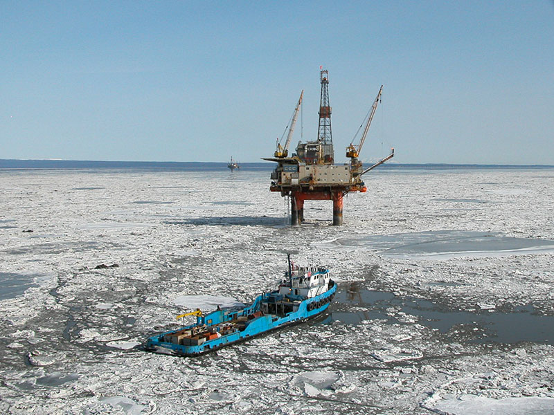
Click to view larger
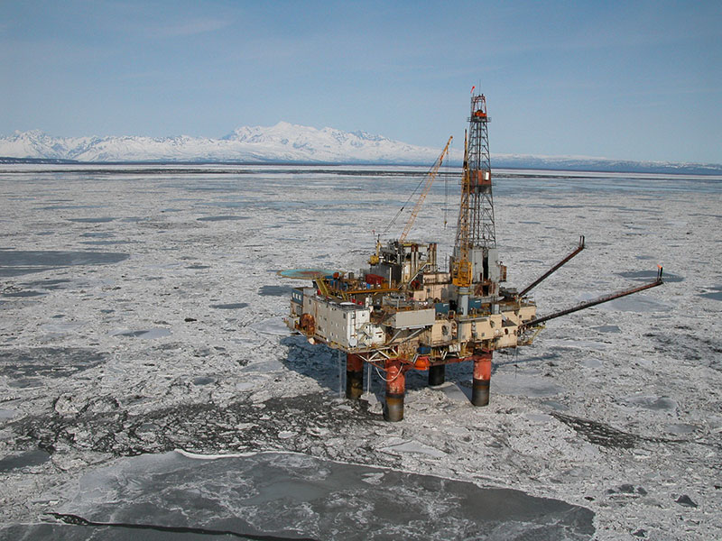
Click to view larger
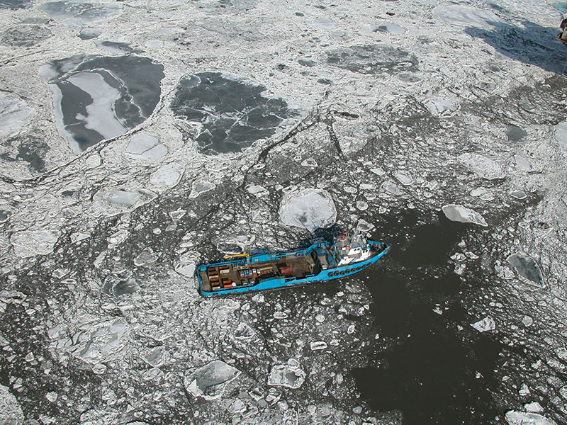
Click to view larger.
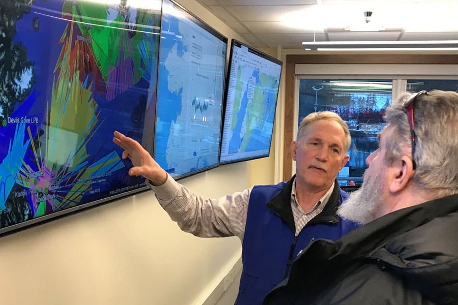
The data are provided as a GIS layer that can be accessed on the Cook Inlet Response Tool (CIRT), another project under this program.