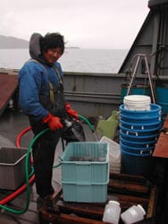
In 2002, Cook Inlet RCAC collaborated with the Alaska Department of Environmental Conservation to conduct a coastal assessment of the south central Alaska coastal bays and estuaries by looking at a suite of contaminants in benthic sediments and organisms. This was the first survey of the five biogeographical provinces of coastal regions in the Alaska Monitoring and Assessment Program (AKMAP). The southcentral region was selected for the first survey of this new program because of the importance of the major estuarine resources (Prince William Sound and Cook Inlet) to local economies, the state economy, and aquatic living resources.
EMAP was an Environmental Protection Agency (EPA) initiative to conduct a National Coastal Assessment using standardized sampling protocols across regions and states. Although the funding came from EPA, the goal of the national program was to partner to build expertise and capacity within states and have each state administer their own program. ADEC is the administrator of the Alaska component of the national EMAP, but worked with Cook Inlet RCAC in order to leverage funds and expertise. Cook Inlet RCAC provided the scientific lead for the project based on past experience conducting similar surveys in the western Gulf of Alaska and because EMAP would provide context in which to interpret our other regional and Cook Inlet-specific data. Many additional partners participated in the sampling and analytical portions of the study.
The southcentral Alaska province includes over 800 miles of coastline, including two very major estuaries, Cook Inlet and Prince William Sound, as well as areas along the Alaska Peninsula, Kodiak and Afognak Islands, Shelikof Strait, and the Kenai Peninsula. Much of this area is within Cook Inlet RCAC’s areas of concern as identified by OPA 90 and in our Strategic Plan. Standard sampling was conducted for the core set of national EMAP parameters with additional analytes added, such as aliphatic hydrocarbons that provide another tool for fingerprinting hydrocarbon sources. There were challenges adapting a national program for sampling in Alaska’s unique environments that carried over to interpretation of results, as well. The core set of variable that are components of the national EMAP program and were sampled for the southcentral EMAP included:
- Benthic sediment contaminants (hydrocarbons, persistent organic pollutants, and metals)
- Benthic sediment indices (organic carbon, grain size)
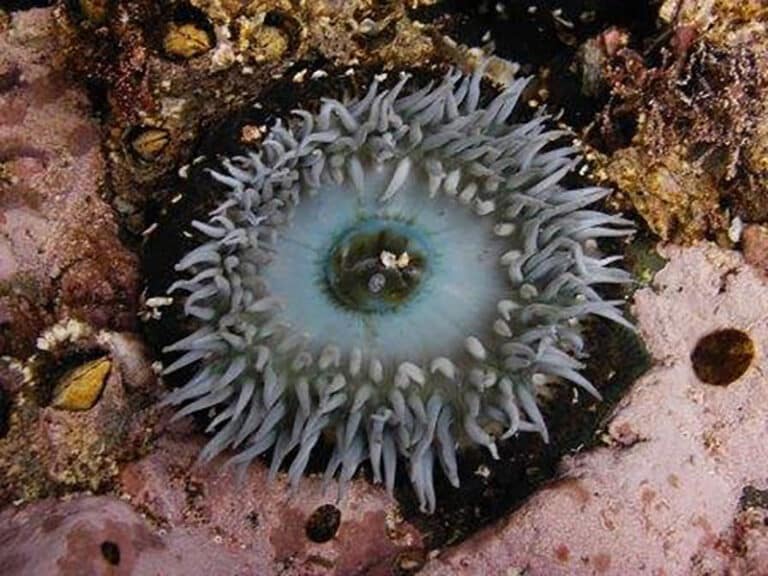
- Benthic invertebrate and fish assemblages
- Fish tissue contaminants and measures of health (e.g. parasites, tumors, etc…)
- Oceanographic parameters and water quality indices (temperature, salinity, dissolved oxygen, nutrients, chlorophyll-a, turbidity, total suspended sediments, pH)
A total of 55 stations were sampled based on a probabilistic survey that allows the data to be scaled up to represent the entire study area of coastal bays and estuaries between Unimak Pass and the Copper River Delta.
The final reports (below) presents summaries and interpretation of all of the 2002 analytical results, as well as comparison to various national and other contaminant concentration guidelines given the absence of water or sediment quality guidelines in Alaska for many of the EMAP parameters. The coastal EMAP in southcentral Alaska provides a much needed context in which to interpret smaller more focused studies conducted throughout the Cook Inlet RCAC areas of concern, given the lack of historical data for much of the area’s marine environment. More information, including detailed sampling maps, sampling plans, summary reports, and the final report can be found here: 2002-southcentral-emap-survey.
Final Reports:
Saupe, S.M., J. Gendron, and D. Dasher. 2006. The Condition of Southcentral Alaska Coastal Bays and Estuaries, A Statistical Summary for the National Coastal Assessment Program. Alaska Department of Environmental Conservation, Juneau, AK.
A shorter summary of the final report can be found here.