New technology helps prepare for spills, explore coastal areas
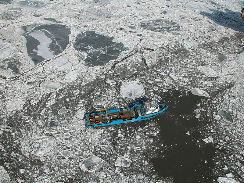
On the last day of 2012, the oil-drilling rig Kulluk ran aground on Sitkalidak Island near Kodiak. The weather was foul, the location remote, and the timing unfortunate.
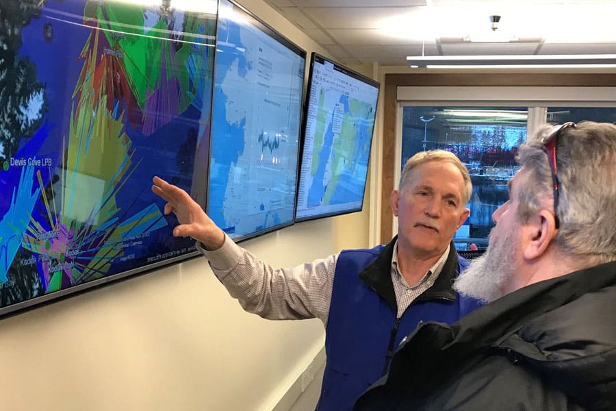
But responders had a new tool that let them scope out the weather, sea bottom, navigation threats, endangered environmental resources, potential sheltered anchorages, and access options — before even leaving their desks.
The Sitkalidak coast was included in the Cook Inlet Response Tool, or CIRT, an online information clearinghouse for oil-spill and other emergency response planning. CIRT combines aerial photos, real-time sensor readings, models of natural processes, and geographic information systems mapping to allow responders virtual access to even the most remote and forbidding shores. Read more.