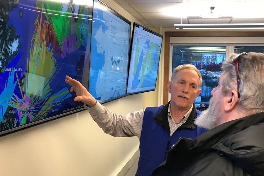
GRID system development continues
Like everyone, the Corona virus pandemic has forced us to cancel certain plans this summer. Regular response training drills with our industry and state partners have been postponed. But that doesn’t mean we aren’t still sharpening the tools that would be deployed in the event of an incident in Cook Inlet.
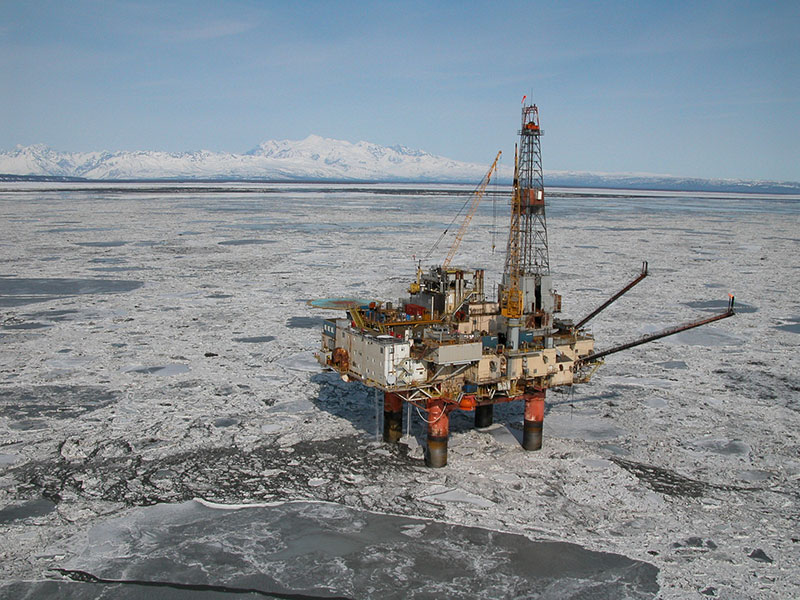
Safely reducing response time is always a goal. An important tool for achieving that goal is called the Geographic Resource Information Database (GRID).
Now in its second generation of development, GRID seeks to decrease response time by providing logistical, safety, liaison and public information contact names, numbers and equipment specifications. Essentially, it’s a clearinghouse where response resources, everything from doctors to electricians, from helicopters to boat launches, and community information is available. This means that responders, who may or may not be familiar with the local area where an incident has occurred, have ready access to up-to-date and accurate information to make response and logistical operations as streamlined as possible.
Past drills have helped to refine the GRID by revealing weaknesses and non-functioning components of the program. Those additions and repairs to the program were to have been tested at a response drill scheduled for May (and cancelled due to COVID-19). Future drills, when they are safe to resume, will allow responders to explore and test all the layers of GRID. Once GRID is put into service, its direct access to a broad range of data will provide valuable information to any emergency response within the Cook Inlet basin.