Looking for a report or document on our Web site? The CIRCAC Library is your resource to documents, links, and information about our organization and the Cook Inlet Oil and Gas Industry. Since our site contains more than 200 reports and documents, we have organized them by program, under “What We Do.” You can find document links using the left-hand navigation bar within each program page, or you can use our search engine to quickly find exactly what you are looking for.
To view PDF files you must first have Adobe’s free cross-platform Reader installed on your computer. To download and install the latest Adobe Reader, click here and follow the instructions.
- About CIRCAC
- Oil Pollution Act Of 1990 (337 kb)
- Safety of Navigation in Cook Inlet (812 kb)
- Citizen Advisory Councils & Environmental Management in the Marine Oil Trade (4MB)
- Evaluation of the 2009 Drift River Coordination (1.6M)
- Strategic Plan UPDATED 2019 (641 kb)
- Cook Inlet RCAC Articles of Incorporation (582 kb)
- Cook Inlet RCAC Bylaws
- RCAC Retrospecitve (873 kb)
- Cook Inlet Fact Sheet (AOGA 2015)
- 25 Years in the Inlet Report
Council Meeting Documents and Presentations
December 3, 2021 Board Meeting (Board Packet)
Approved Minutes September 10, 2021
September 10, 2021 Board Meeting (Board Packet)
Approved Minutes April 9, 2021
Approved Minutes Annual Meeting April 9, 2021
April 9, 2021 Board Meeting (Board Packet)
December 4, 2020 Board Meeting (Board Packet)
Approved Minutes August 28, 2020
August 28, 2020 Board Meeting (Board Packet)
Approved Minutes April 3, 2020
Approved Minutes Annual Meeting April 3, 2020
April 3, 2020 Board and Annual Meeting (Board Packet)
December 6, 2019 Board Meeting (Board Packet)
- Pipeline Infrastructure Assessment Draft Preliminary Expert Recommendations, Nuka Research
- Recent Research to Help Optimize Spill Response and Assessments, NOAA and Coastal Response Research Center
Approved Minutes September 6, 2019
September 5, 2019 Board Meeting (Board Packet)
Approved Minutes April 5, 2019
Approved Minutes Annual Meeting April 5, 2019
April 5, 2019 Board and Annual Meeting (Board Packet)
Approved Minutes November 29, 2018
Approved Minutes Special Meeting December 14, 2018
November 29-30, 2018 Board Meeting (Board Packet)
*Note: Due to an earthquake, the Board could not meet on Friday, November 30.
Approved Minutes September 7, 2018
September 2018 Board Meeting (Board Packet)
Approved Minutes April 6, 2018 Board and Annual Meeting
- Cross Inlet Pipeline Installation
- Cross Inlet Pipeline Update
- Pipeline Infrastructure Risk Assessment Update
April 2018 Council and Annual Meeting (Board Packet)
Approved Minutes November 30, 2017 and December 1, 2017
November/December 2017 Board Meeting (Board Packet)
Approved Minutes September 8 2017
- Harvest Alaska Extension Update
- BlueCrest Energy
- Nuka Research Pipeline Study Presentation v2
- Self-arrest Powerpoint
September 2017 Council Meeting (Board Packet)
Approved Minutes April 7 2017 (Council and Annual Meeting)
- NUKA Pipeline Study
- Harvest Alaska Cross Inlet Pipeline Update
- Aderhold-GulfWatch Presentation
- Powll-GulfWatch Presentation
- Abandoned Vessel Presentation ADEC
April 2017 Council & Annual Meeting ( Board Packet )
December 2016 Council Meeting (Board Packet)
Approved Minutes (Special Meeting)
September 2016 Council Meeting (Board Packet)
- Seldovia Oil Spill Response Team
- Hydraulic Fracturing in Alaska, AOGCC
- BlueCrest Energy Cosmo Project Update
- Alaska Department of Environmental Conservation, Update
April 2016 Council Meeting (Board Packet)
December 2015 Council Meeting (Board Packet)
- BlueCrest Energy
- LNG Presentation and Hand-Outs (Larry Persily, Kenai Peninsula Borough)
September 2015 Council Meeting (Board Packet)
April 2015 Council Meeting (Board Packet)
December 2014 Council Meeting (Board Packet)
September 2014 Council Meeting (Board Packet)
April 2014 Council Meeting (Board Packet)
December 2013 Council Meeting (Agenda)
- Alaska Department of Environmental Conservation Division of Spill Prevention & Response »
- Alaska Department of Fish and Game, Habitat Division »
- Bureau of Ocean Energy Management »
- Alaska Department of Fish and Game, Habitat Division »
- Buccaneer Energy »
- CISPRI »
- Cook Inlet Energy »
- Hilcorp Alaska »
- LNG Overview »
- Port of Anchorage »
- USCG Sector Anchorage »
September 2013 Council Meeting Documents (.zip file)
May 2013 Council Meeting
December 2012 Council Meeting Documents (.zip file)
December 2010 Council Meeting Documents (.zip file)
- 2022 CIRCAC Certification
- 2021 CIRCAC Certification
- 2020 CIRCAC Certification
- 2019 CIRCAC Certification
- 2018 CIRCAC Certification
- 2017 CIRCAC Certification
- 2016 CIRCAC Certification
- 2015 CIRCAC Certification
- 2014 CIRCAC Certification
- 2013 CIRCAC Certification
- 2012 CIRCAC Certification
- 2011 CIRCAC Certification
- 2010 CIRCAC Certification
- 2009 CIRCAC Certification
- 2008 CIRCAC Certification (50 kb)
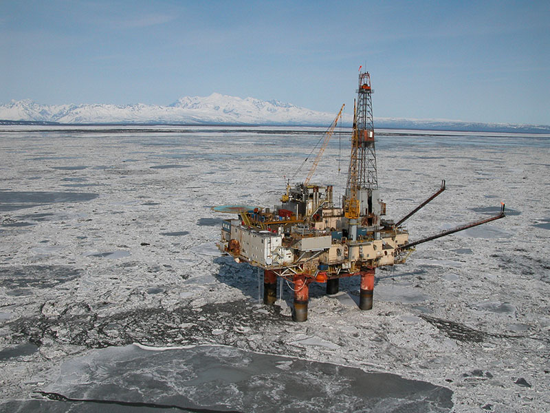
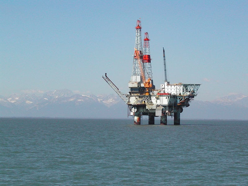
- Platform Anna Updated
- Furie Spartan Jack Up Rig
- Platform A (615 kb)
- Platform Anna (1.2 MB)
- Platform Baker (1.1 MB)
- Platform Bruce (1.1 MB)
- Platform C (572 kb)
- Platform Dillon (1.2 MB)
- Platform Granite Point (1.2 MB)
- Platform Grayling (1.2 MB)
- Platform King Salmon (1.0 MB)
- Platform Monopod (1.1 MB)
- Platform Osprey (125 kb)
- Platform Spark (69 kb)
- Platform Spurr (1.3 MB)
- Platform Steelhead (1.0 MB)
- Platform Tyonek (1.0 MB)
2022
2021
- Comments and request for additional information on Furie Operating Alaska, LLC, Oil Discharge and Contingency Plan for Cook Inlet Exploration Program (Cover Letter)
2020
- Comments and request for additional comment regarding BlueCrest Alaska Operating, LLC Cook Inlet, Alaska Exploration Program Oil Discharge Prevention and Contingency Plan
- Comments in response to Oil Discharge Prevention and Contingency Plan Public Scoping (18 AAC 75 Article 4)
- Comments on Tesoro Kenai Pipeline Company Oil Discharge Prevention and Contingency Plan
2019
- 2019.5.22.AKG315200_CIRCAC_Signed_Final_With_Comments
- Taking of marine mammals incidental to Oil & Gas Activities in Cook Inlet
- AOGCC Rate Changes
2018
- 2018.3.8.CIRCAC_BOEM 2019-2024 DPP Comments signed
- Comments on Proposed Changes to Alaska’s Planning Structure
- Oil and Gas and Sulfur Operations (BSEE)
- Marine Mammal Disaster Guidelines
- Oil and Gas Production Safety Systems Revisions
- CIRCAC Signed Title 18 AAC 75 comments
2017
- Regulations regarding Cleanup Levels
- Preauthorization Areas for Dispersants
- Update to Alternative Planning Criteria National Guidelines (Docket USC 2016-0437)
2016
- Sections 1 & 2 (88 kb)
- Section 3A (364 kb)
- Section 3B (56 kb)
- Section 3C (2.3 kb)
- Sections 4, 5, & 6 (176 kb)
- Cook Inlet Vessel Traffic Study 2011-2020
- Cook Inlet Pipeline Infrastructure Assessment 2020
- Final CIRCAC Self Arrest Report 5.15.17
- Flow Line Compliance Evaluation for Kenai and Cook Inlet (ADEC)
- Fiberspar LinePipe
- Cook Inlet Navigational Risk Assessment Final Report
- Cook Inlet Navigational Safety Forum Proceedings (1.53 mb)
- Cook Inlet Vessel Traffic Study FINAL (3.67 mb) AddendumALASKA MARITIME HUMAN FACTORS
- Dismantlement, Removal, and Restoration White Paper
- CLICK HERE for Part 1 of the Paper (Pages 1-23, 413 KB)
Part 1 contains the narrative and recommendations found in the report. - CLICK HERE for Part 2 of the Paper (Pages 24-80, 5.11 MB – large file)
Part 2 contains supporting documents including lease agreements, maps, and specifications
- CLICK HERE for Part 1 of the Paper (Pages 1-23, 413 KB)
- ALASKA MARITIME HUMAN FACTORS
- Cook Inlet Pipeline Risk Assessments
- 1999 Safety of Navigation Forum in Cook Inlet
- Northern Cook Inlet GRS Information This website describes the process used to develop Geographic Response Strategies (GRS) to protect sensitive coastal environments in the Northern Cook Inlet response zone. The Northern Cook Inlet Zone, which is part of the Cook Inlet Subarea, extends from the Chuitna River on the west side of the Inlet to Point Possession on the east and north to the Matanuska River.
- Central Cook Inlet GRS Information This website describes the process used to develop Geographic Response Strategies (GRS) to protect sensitive coastal environments in the Central Cook Inlet response zone. The Central Cook Inlet Zone, which is part of the Cook Inlet Subarea, extends from Anchor Point north to just north of Tyonek including both the east and west coastlines of the inlet.
- Southwestern Cook Inlet GRS Information This website describes the process used to develop Geographic Response Strategies (GRS) to protect sensitive coastal environments in the Southwestern Cook Inlet response zone. The Southwestern Cook Inlet Zone, which is part of the Cook Inlet Subarea, extends from Cape Douglas north to Sea Otter Point at the southern entrance to Chinitna Bay.
- Southeastern Cook Inlet GRS Information This website describes the process used to develop Geographic Response Strategies (GRS) to protect sensitive coastal environments in the Southeastern Cook Inlet response zone. The Southeastern Cook Inlet Zone, which is part of the Cook Inlet Subarea, extends from south of Point Bede northeast to Division Island at the northern entrance to Nuka Passage.
- Kachemak Bay GRS Information This website describes the process used to develop Geographic Response Strategies (GRS) to protect sensitive coastal environments in the Kachemak Bay response zone. The Kachemak Bay Zone, which is part of the Cook Inlet Subarea, extends from Point Bede, just south of Nanwalek, north to Anchor Point at the northern entrance to Kachemak Bay.
- Seward GRS Information This website describes the process used to develop Geographic Response Strategies (GRS) to protect sensitive coastal environments in the Seward Zone of Cook Inlet. The Seward Zone, which is part of the Cook Inlet Subarea, extends along the eastern coast of the Kenai Peninsula, from Cape Pudget to Nuka Point.
- Northern Kodiak GRS Information This website describes the process used to develop Geographic Response Strategies (GRS) to protect sensitive coastal environments in the Northern Kodiak response zone.
- Western Kodiak GRS Information This website describes the process used to develop Geographic Response Strategies (GRS) to protect sensitive coastal environments in the Western Kodiak response zone.
- Mainland Kodiak GRS Information This website describes the process used to develop Geographic Response Strategies (GRS) to protect sensitive coastal environments in the Mainland Kodiak response zone.
- Eastern & Southern Kodiak GRS Information This website describes the process used to develop Geographic Response Strategies (GRS) to protect sensitive coastal environments in the Eastern & Southern Kodiak response zones.